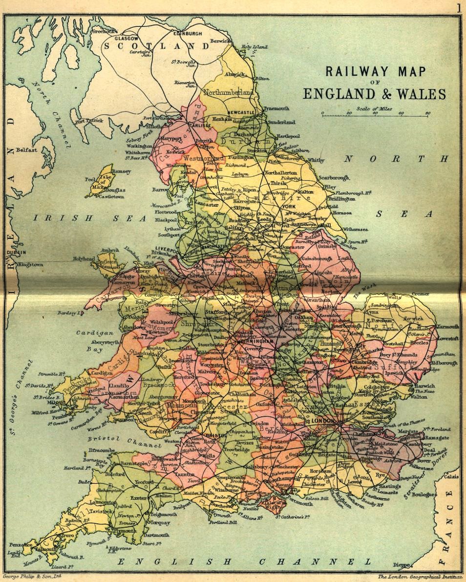
English counties around 1900
In c1970, the millennium-old county boundaries of the United Kingdom
were reformed under prime minister Edward Heath and cabinet minister Walker.
Until this reform, and for hundreds of years previously, they were approximately
as in the map below.
This map is taken from Philip's Handy Atlas of the Counties of England, undated.
Despite the title of the atlas, this map also shows the Welsh counties.
It is shown below in three increasing sizes.
Other British county maps.
More maps.